Our main offices will be closed Easter Weekend. Refuse collection will not take place on Good Friday, 29 March. Areas, where refuse is collected on Fridays, will instead have collections on Saturday, 30 March. This affects the Te Teko, Edgecumbe, Poroporo and White Pine Bush areas. Refuse will be collected on all other days as normal.
See the full list of services and opening hours »

Active Whakatāne Banner

Active Whakatāne

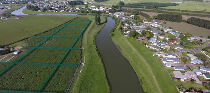
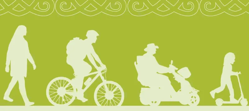
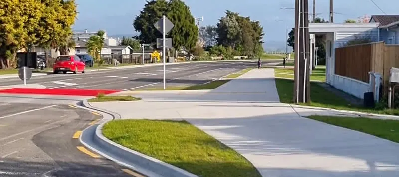
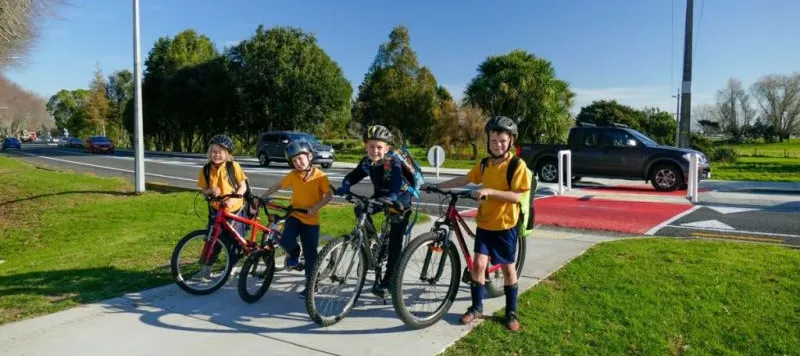
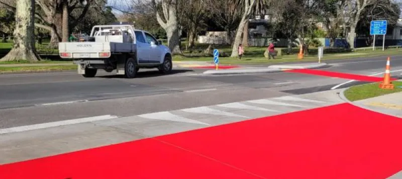
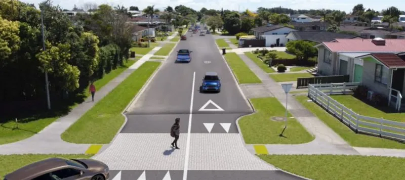
Active Whakatāne is a strategy that aims to make active modes of travel like walking, cycling and scootering around the district easier and safer for all ages and abilities.

The strategy was developed with the community and strives towards promoting a healthier, safer and more active lifestyle for our district through education and purpose-built infrastructure. 

Active Whakatāne - District-Wide Transport and Recreation Strategy 2020 - (PDF, 7.2 MB)

Current, planned and completed projects

Sub-pages
Aerial view of the Edgecumbe River and walkway

Edgecumbe to Thornton Shared Pathway

This project is a long-standing aspiration of the Edgecumbe community and is supported by the Rangitāiki Hapū Coalition and Bay of Plenty Regional Council.

Completed works on College Road

Active Whakatāne (College Road Safer Travel Route)

Completed: This project aims to make it easier and safer for tamariki to get to school and for pedestrians to reach destinations like the Edgecumbe Library, College Road shops, the walk along the stopbank and playgrounds.

Whakatāne E-Bike Library Logo

Whakatāne E-Bike Library

Our E-Bike Library, funded by Waka Kotahi (NZ Transport Agency), is your opportunity to try an electric bike and discover a new lifestyle.

Locky Docks at Robert Harris

Locky Docks

Thanks to a generous grant of $80k from Trust Horizon, free to use ‘Locky Docks' will be installed across the District.

Animated family on bikes

Safe Ways to School

Safe Ways to School is a community engagement project that uses in-class and online surveys, as well as geospatial mapping technology, to engage the school community and gather insights for targeted infrastructure and community-wide programmes that promote safe, active travel to and from school (and reduce congestion at the school gate).

Design of safe crossing on Salonika Street

Salonika and Crete Streets Safer Travel Route

Underway: This greenway will make it safer and easier for kids to get to school and to provide safer, easier access for everyone across Goulstone Road and on to Rex Morpeth Park, the aquatic centre and other destinations.

How will you achieve this strategy? 

We have three key investment areas that will build towards our vision. These include:

  • Commuter walking, cycling, and scootering

Shared paths and greenways along streets, paths through parks and reserves, and improved on-road cycleways. This includes a kerb ramp upgrade programme to make travel smoother for wheelchair and mobility scooter users and median refuges to make it easier to cross busy roads.

  • Safe Ways to School

Wider, sealed shared paths along key streets to and from schools which will also form part of commuter routes.

  • Recreational walking and cycling trails

Through parks and reserves, stop banks, and coastal and harbour reserves. Some of these will contribute to the wider commuter and safe ways to school routes. We may need to work with other agencies like Toi Moana Bay of Plenty Regional Council, the Department of Conservation and Waka Kotahi New Zealand Transport Agency on these initiatives.

We will also support education programmes and encouragement activities.

Why do we need this strategy? 

Over the past 20 years, the rate of active travel to work has halved from 20 percent of people walking or cycling to work to ten percent of people.

However, when we were forming this strategy, people told us that they would like to walk and cycle more but are put off because it’s not convenient and it doesn’t feel safe.

Of the people we spoke to 61 percent said they would walk more, and 73 percent of people said they would cycle more, if there was better infrastructure.

Active Whakatāne aims to put that infrastructure in place, so people find it safe and easy to take active modes of transport to school, work, the shops or play.

What are the benefits of this? 

There are many benefits of travelling by walking and cycling instead of by vehicle. People who walk or bike have more opportunities to stop and chat, they also shop more often at local businesses, save money on fuel and have less of an impact on our environment.

Is there anything for small towns? 

The strategy covers the whole district and includes projects that will be delivered for the benefit of our smaller communities. This could include shared paths to and from schools, pedestrian improvements, recreational trails and new footpaths. 

How much does this cost? 

The budget for this strategy is $1 million annually. This was set through community consultation in our last Long Term Plan process. 

Active Whakatāne Network Vision Story Map 

This Story Map is being used to develop and display the Implementation Plan. This interactive Story Map will be updated over time once the project phasing has been undertaken, as projects are completed and new projects are added.

View the Active Whakatāne Implementation plan map »